

*** There is significant wash-out of our trail system from the storms we have had. We continue to do our best to fix them but the weather is not cooperating. Please use caution and stay off trails in steep areas. ***
Trail Emergencies
Overview
If there is a trail emergency, either human or horse, we would like the emergency help to be able to locate the injured quickly. Deb Higgins and Alison Estabrook have been putting up trail markers on the NSBTA trails around Vail to help people know where they are, and to help the emergency responders reach us. We will show these maps to The Croton Falls Fire Department personnel. We are also working on a new app where one can see the trail names.
If a person is injured:
Call 911 !!!
The dispatcher will send the call to Croton Falls Fire Department. They can see the location of the call, but they may not know the easiest way to get there with their equipment.
Croton Falls Fire Department will send you a bill but this should NOT make you hesitate to call 911. You can submit this to your medical insurance company. Croton Falls Fire Department will not bill you again. If you are worried about not being able to pay, don't be. Your safety is first and foremost.
If a horse is injured:
Call your vet
The Croton Falls Fire Department will not help critically injured horses but they will assist in rescue. There is too much liability involved with the horse owner and the property owner. They will help with injured wildlife, such as a deer. The NSBTA is suggesting that you call your vet to find out: Would they be willing to come out on the trails to help you? What kind of emergency vet coverage the vet has?
TRAIL ALERTS
Trail Temporarily Closed
The trail that runs on the north side of Rt. 116 from Norton Rd to the Ridgefield border is open. However when you come down to Rt. 116, the trail across the street is temporarily (hopefully) closed. So your access to Hunt Lane is along Rt. 116. The site line is good but people do drive fast. It's not the best solution but it's all we can do for now. If this doesn't work for you, please use the trails off Hilltop Rd to get back and forth over Rt. 116.
Little Creek Farm
There are some upgraded trails on the west side of Delancy that run through to Hardscrabble Road. Please pay attention to the NSBTA trail markers so you don't venture into areas where horses are not allowed.
Former Vineyard Property
This information from the owners of the property:
“With the heavy daily use that the bridle trail on the Vineyard property is now seeing, we are also seeing a predictable increase in issues stemming from that use. Would you please advise/remind riders of the following:”
1. Riders are limited to the marked trail only. Other areas of the property are private and off limits.
2. Walkers/hikers, dogs, and bicycles are NOT permitted.
3. Riders should walk only and stay on the trail where there are water bars or coarser footing (crushed stone, gravel, etc) installed — these areas are erosion prone and/or wet and these features have been installed to preserve the trail in these locations.
4. If you see someone who is not following these rules, please remind them that their actions could result in the closure of the trails to the riding public.
3 Ponds
Riders, please pay special attention to new signs at the former 3 Ponds Farm, now Finch Farm II. The access has changed a bit. There are some beautiful new trails in the woods that may not be on the trail app but are well marked. The farm road loop around the entire property is open but it is a "Walk Only" path. As always, please pay attention to the signs and trail markers and feel free to email info@nsbta.org if you have any questions. Thanks!
Vail Lane
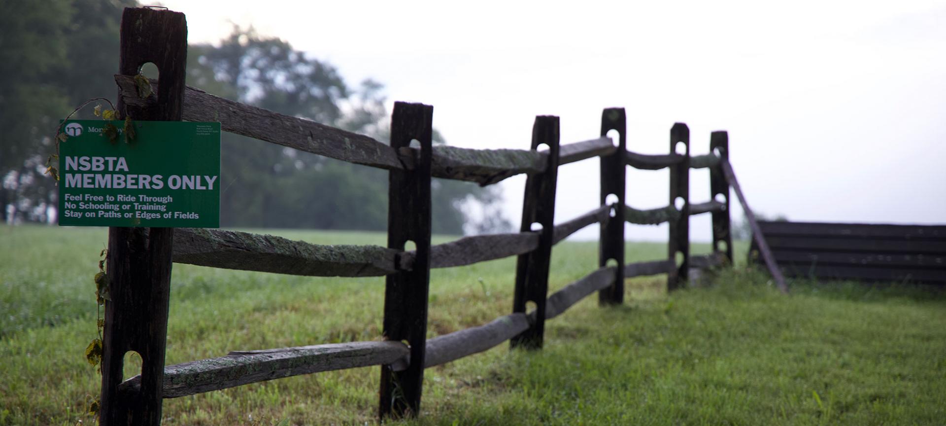
The Stanton Property on Vail Lane is under new ownership. NSBTA riders are the only ones allowed to ride on the paths around the fields and on the trails in the woods. No walkers. The new owners are adamant about no one on foot with or without dogs. It is private property and they only allow riders. Also, PLEASE stay on mowed paths only. Do not ride through the middle of any of the fields, even in areas you used to ride in the past. All the fields will be mowed around the edges. Please stick to the paths. There is no schooling allowed on any of this property, especially the water complex. You may jump fences as you ride through the property but absolutely no schooling. As NSBTA members, please help us ensure that anyone you see on the trails is a member. Thanks!
Trail App
NSBTA has developed an app that allows riders to see our trails from their phone. This application is for use by NSBTA members only. By using the application, you affirm your agreement to the NSBTA Terms of Membership, including the release of liability. This application is intended as a navigation aid. It is not a substitute for good judgment as to whether the conditions of a particular trail are safe for you and your horse. It is your responsibility to assess the trail conditions and exercise good judgment. If you would like information on how to access this app, please email info@nsbta.org.
Vail Farm
Please do not trot or canter up Vail Lane when there are people using their outdoor ring. The same holds true if you are passing paddocks on anyone’s property when there are horses turned out.
New Trails
Working with and coordinating five landowners, we have cleared a new trail that goes from Three-Phase Equestrian center, behind the landowners’ properties and connects with the NSOLF Gaymark Preserve. Trail markers are in place. It’s a beautiful loop.
Another great trail will help out our southern neighbors near Grants Corners. You can now cross over to the west side of June Road and head back to connect with our Turkey Hill trails. All the new farms on Grant Road now have access without having to spend any time on busy roads. There is also a beautiful trail in the works behind these homes that will allow riders to go from Grant’s Corner to the Halmi, Hearst-Mead Preserves of the NSOLF and over to Mt. Lakes Park. We now have a huge loop where a rider can go from Baxter to Turkey Hill, over to Grant’s Corners, up to NSOLF land, back around by the firehouse to Baxter where you began!
NSBTA and GBH have opened up a large section of one of the old trail systems. The easiest way to access this area is from Joe Bohrdrum Park. There is a very large parking lot which makes this a nice trailer destination. Once you are tacked up and ready to go, proceed down the gravel service road that bisects the park and head northeast into the woods. The trails are not well marked yet but we are working on it. Eventually, we hope to clear the trails that meander along the ridge, parallel to Rt. 116, and connect to our trails in the orchards.
On the other side of the park, cross the road (Sunset Drive) and proceed south for about 50 yards until you see the NSBTA trail marker. Head into the woods. In this area the trails are well marked. It is a network that winds through the woods behind the nursing home and ends up in back of the restaurant, Farmer and the Fish. A subdivision is going in so these trails may change shortly.
NSBTA & Landowners Working Together
Willow Farm had allowed an access to NSBTA members next to their paddocks for many years but the section was quite wet. Horses were damaging their property and they closed the trail. We worked with them to find a new area where we could build a trail and it’s finished. Many thanks to them for being flexible allowing NSBTA to find a solution!